
Navico
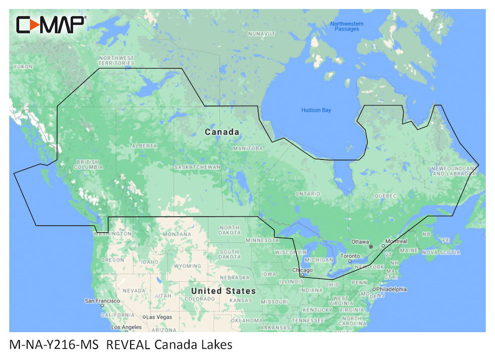
CMap Reveal - Canada Lakes PN:M-NA-Y216-MS
CMap Reveal - Canada Lakes PN:M-NA-Y216-MS
Thorne Bros - 10091 Central Ave. - PH# 763.572.3782
10091 Central Ave NE
Blaine MN 55434
United States
Thorne Bros. Marine Electronics - 10130 Davenport St NE Suite 160 - PH# 763.572.3782
10130 Davenport St NE
Suite 160
Blaine MN 55449
United States
Choose options
CMap Reveal - Canada Lakes
PN:M-NA-Y216-MS
Cruising, fishing or sailing, C-MAP® REVEAL™ Lakes charts offer the very best of C-MAP. With Shaded Relief, including game-changing Reveal Seafloor Imagery, Aerial Photography and Satellite Overlay presentation added to the core C-MAP features found in DISCOVER™ – full-featured Vector Charts, with Custom Depth Shading and subscription-free Easy Routing™. It also includes the very best of C-MAP High-Res Bathy, including integrated Genesis® data. Purchase includes a full 12 months of online updates.
Compatible with Lowrance, Simrad & B&G Chartplotters.
- Shaded Relief – bring the world around you to life, with 3D rendered land and underwater elevation – including areas of Ultra-High-Res Bathymetric imagery – a game-changer for anglers and divers.
- Full-Featured Vector Charts – making navigation easy by giving you accurate, up-to-date vector chart detail derived from official Hydrographic Office information.
- High-Res Bathy – helps you identify shallow areas, drop-offs, ledges, holes or humps. Now includes compiled and quality-controlled Genesis® detail as part of singular HRB layer.
- Custom Depth Shading – set a clear safety depth, maintain a paper-like view or create your own custom shading.
- Easy Routing™ – helps you automatically plot the shortest, safest route based on detailed chart data and your personalized vessel information.
- Aerial Photography – a collection of thousands of photos of marinas, harbors, inlets and other notable navigational features included to offer an additional level of detail.
- Satellite Overlay – satellite imagery gives information about the surroundings when you find yourself in an unfamiliar place.
- Harbor & Approach Details – unprecedented level of detail. Approach any harbor and inlet with confidence.
- Online Updates – keep your chart up to date, with 12 months’ free online updates.
⚠️ WARNING: Risk of cancer and reproductive harm from exposure to Lead and lead compounds. See www.P65Warnings.ca.gov.
⚠️ WARNING: Risk of cancer and reproductive harm from exposure to Di(2-ethylhexyl)phthalate (DEHP). See www.P65Warnings.ca.gov.
Important Notice – Jigs and Sinkers
- The sale of this item may be restricted in Maine (ME), New Hampshire (NH), Vermont (VT), and New York (NY).
- Please check your local laws and regulations before ordering or using this product.
- Thorne Bros is not responsible for orders placed in violation of state restrictions.